To use the MapLink gazetteer tool, the Gazetteer option should be selected during installation of MapLink. Choosing this option will install a file called XGArcAppsMiniGaz.ini in the folder holding the MapLink configuration files, which then needs to be correctly configured by the System Administrator.
A gazetteer can be created from any Personal or File Geodatabase, Access table, Shapefile or .MLDB layer that has a field that can be used to identify and navigate to a known location. The MapLink Gazetteer also allows you to navigate around the map by OS Grid Reference or coordinates.
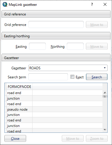
MapLink 6.0 and earlier has a "Go To" button which will centre the map on the result, whereas MapLink 6.1 and above has two buttons (seen above) "Move To" and "Zoom To". Move to will centre the map on the reult based on the current zoom. Zoom to will zoom to the extent of the feature or the MaxZoom config setting depending on which is larger.